
Statewide Flood Monitoring & Early Warning
State DOTs, water resource agencies, and emergency management offices are responsible for flood risk across thousands of miles of roads and waterways. Levelynx makes it practical to deploy a coordinated, statewide monitoring network that closes roads faster, protects travelers, and feeds the systems your agencies already operate.
Monitoring Risk Across an Entire State
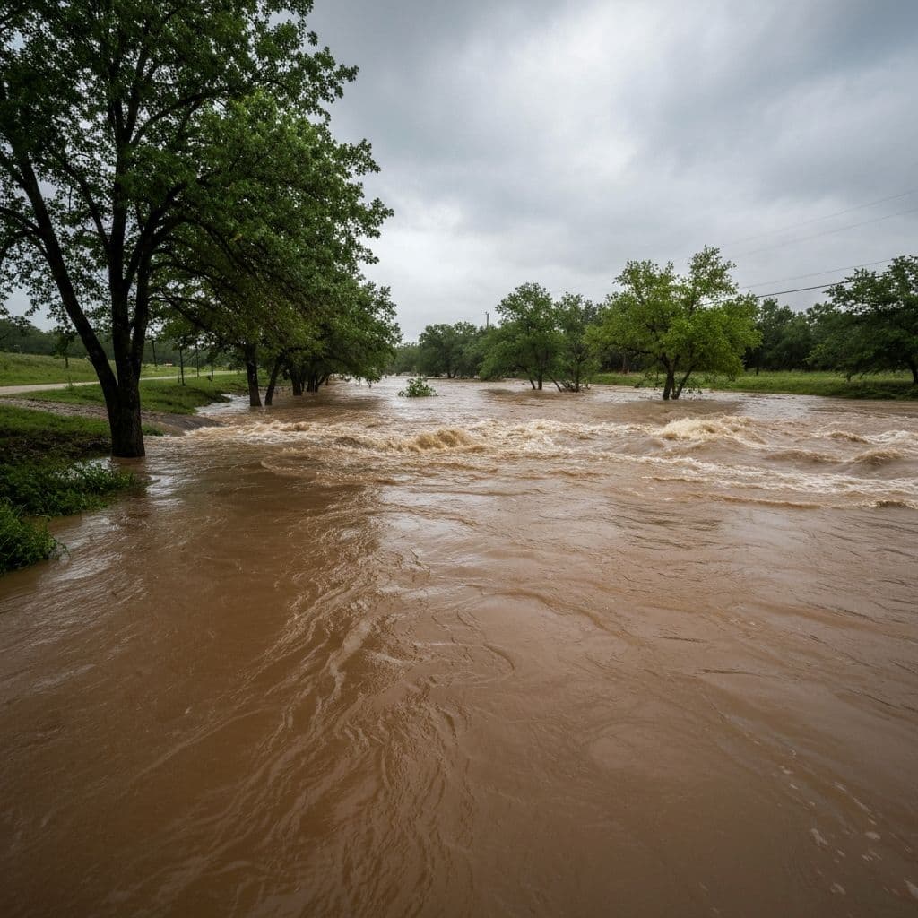
State agencies see the full picture of flood risk — and the full scale of the challenge. Hundreds of flood-prone highway segments, low-water crossings, and river gauges span jurisdictions, and the data that exists is often fragmented across legacy systems that were never designed to talk to each other.
Levelynx provides a single, modern platform that scales from a handful of priority corridors to a statewide network. Because every node deploys without local infrastructure and shares data through an open API, states can standardize monitoring, accelerate road closures, and give downstream communities the lead time that saves lives.
Challenges at the State Level
Flood-Prone Corridors
Hundreds of highway segments and crossings flood repeatedly. Levelynx monitors the priority sites and feeds closures directly into traveler-information workflows.
Fragmented Data
Legacy gauges and siloed systems make a statewide picture hard. An open API and standard platform unify monitoring across districts.
Vast Geographic Scale
Satellite-backed connectivity and rapid installs make it feasible to cover remote and rural sites that cellular-only systems miss.
Coordinated Response
Real-time data flows into state EOC platforms and existing alert networks for faster, better-coordinated multi-agency response.
Planning & Reporting
Continuous historical data supports capacity planning, resilience funding, and the reporting state agencies are accountable for.
Interagency Sharing
Share live water-level data with counties, federal partners, and the public without locking it inside a proprietary vendor portal.
How State Agencies Use Levelynx
One platform that serves transportation, water resources, and emergency management alike.

Highway & Road-Closure Networks
Monitor flood-prone state highway segments and low-water crossings, with alerts that feed directly into traveler information systems, dynamic message signs, and road-closure workflows to keep motorists out of harm's way.
Watershed & River Monitoring
Deploy coordinated nodes across watersheds to track how floods develop from upstream to downstream, giving water resource agencies and downstream communities critical situational awareness and lead time.
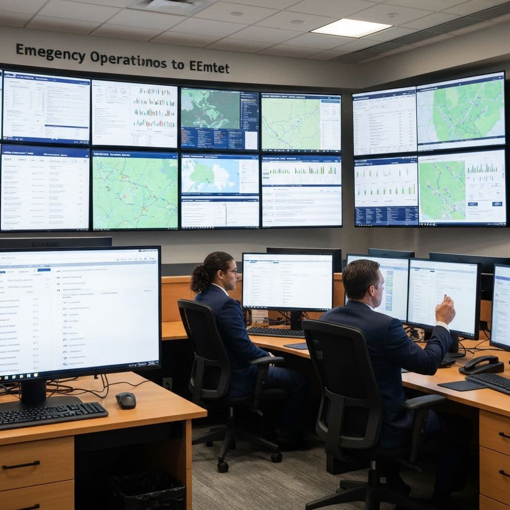
Statewide Emergency Coordination
Feed real-time water-level data into state emergency operations centers and existing public alerting networks, supporting coordinated response across DOT, water resources, and local jurisdictions during major storm events.
Why State Agencies Choose Levelynx
- Scales from priority corridors to a full statewide network
- Open API integration with state EOC, traveler information, and GIS systems
- Satellite fallback for remote and rural sites beyond cellular coverage
- Rapid, infrastructure-free deployment across districts
- Standardized platform that unifies fragmented legacy monitoring
- Up to 6 months of battery backup for storm-long reliability
- Historical data for capacity planning and resilience funding
- Interagency and public data sharing without vendor lock-in
Your Data Stays Yours
Public agencies are stewards of public data. Levelynx is built around transparency and portability — no hostage data, no mandatory portal, no surprises.
You Own All Collected Data
Every reading from every sensor belongs to your agency — not to us. We are the platform, you are the owner of record.
Data Export Available
Export your full dataset on demand in standard formats for reporting, analysis, or archival.
Open APIs
Documented, open APIs let you push data into your CAD, GIS, EOC, hydrologic models, and public dashboards.
No Vendor Lock-In
Open standards and exportable data mean you are never trapped. Your investment and your records stay portable.
Historical Archive Access
Retain and access the full historical record for trend analysis, capacity planning, and regulatory reporting.
Start With a Pilot, Not a Purchase Order
Prefer to see it work before funding a full rollout? Choose the evaluation path that fits your timeline and budget cycle. We're happy to start small and prove the value first.
30-Day Pilot
Deploy a small set of nodes at your most critical locations and see real data from your own sites within a month.
60-Day Evaluation
Run an extended evaluation across more locations and seasons to validate alerts, accuracy, and integrations before you commit.
Proof of Concept
Define success criteria with our team and prove the system against them — ideal for justifying a larger funded rollout.
Build Your Statewide Monitoring Network
Talk with our team about standardizing flood monitoring across your corridors, watersheds, and districts.