Flood Monitoring That Saves Lives
Real-time water level monitoring with automated alerts. From a single creek crossing to city-wide networks, our sensors deliver the accuracy and reliability you need when floods threaten.
Purpose-Built for Flash Floods
Developed in Texas Flood Alley, our technology is designed for the rapid, unpredictable nature of flash flooding.
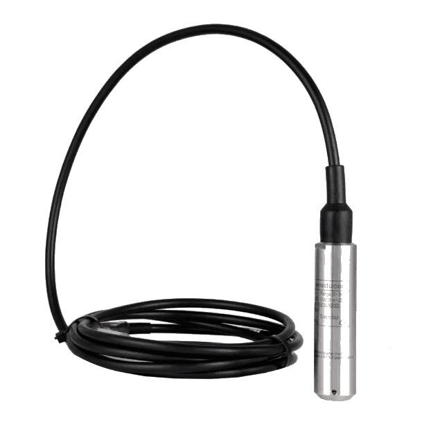
Hydrostatic Pressure Sensing
Every system ships with a proven hydrostatic pressure sensor for reliable, high-accuracy water-level readings. An optional Bluetooth radar unit adds redundancy or no-contact remote monitoring.
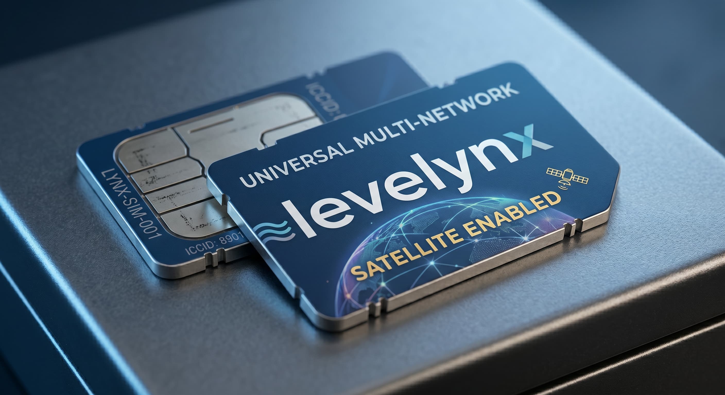
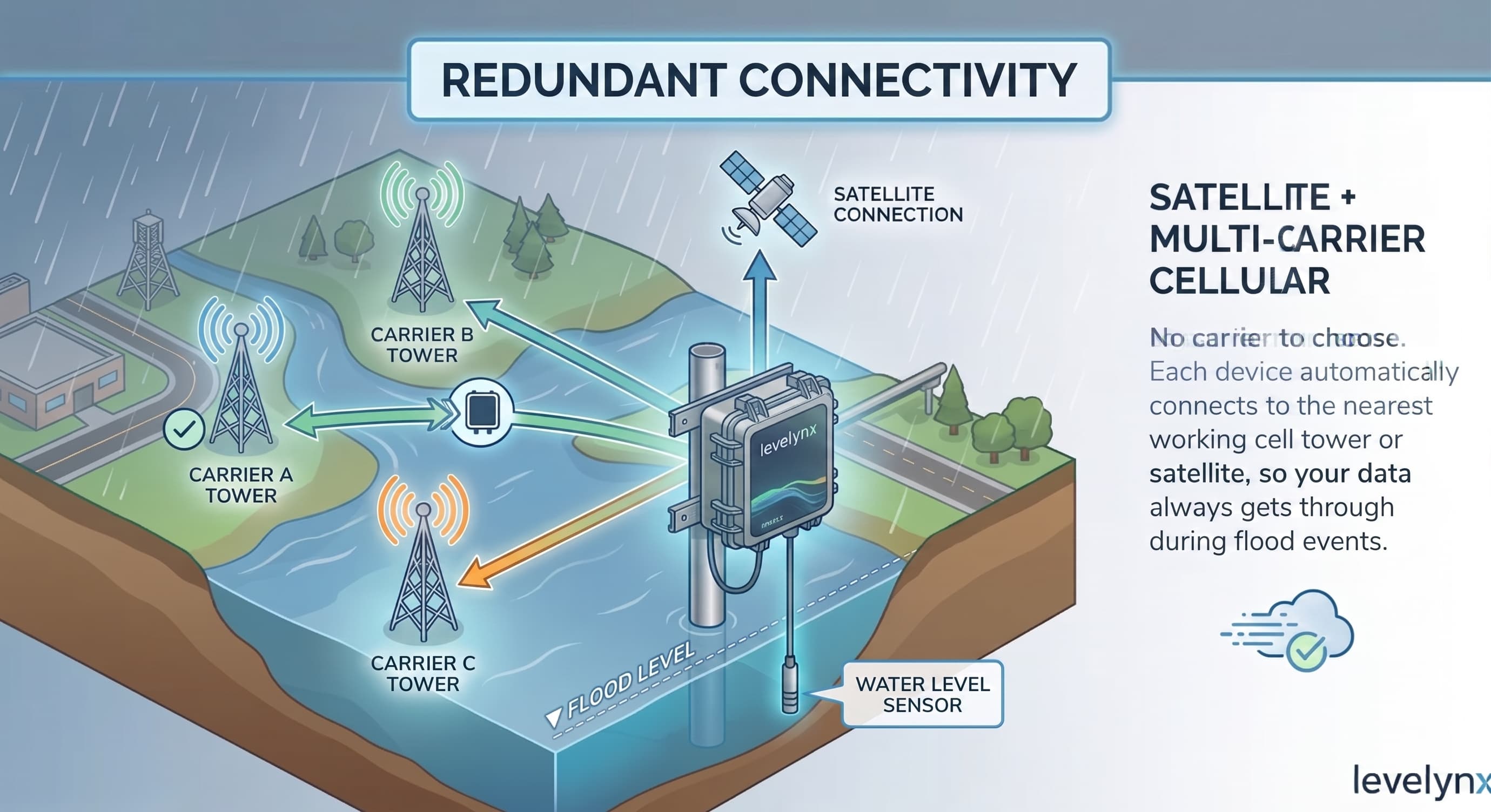
Satellite + Multi-Carrier Cellular
No carrier to choose. Each device automatically connects to the nearest working cell tower or satellite, so your data always gets through during flood events.
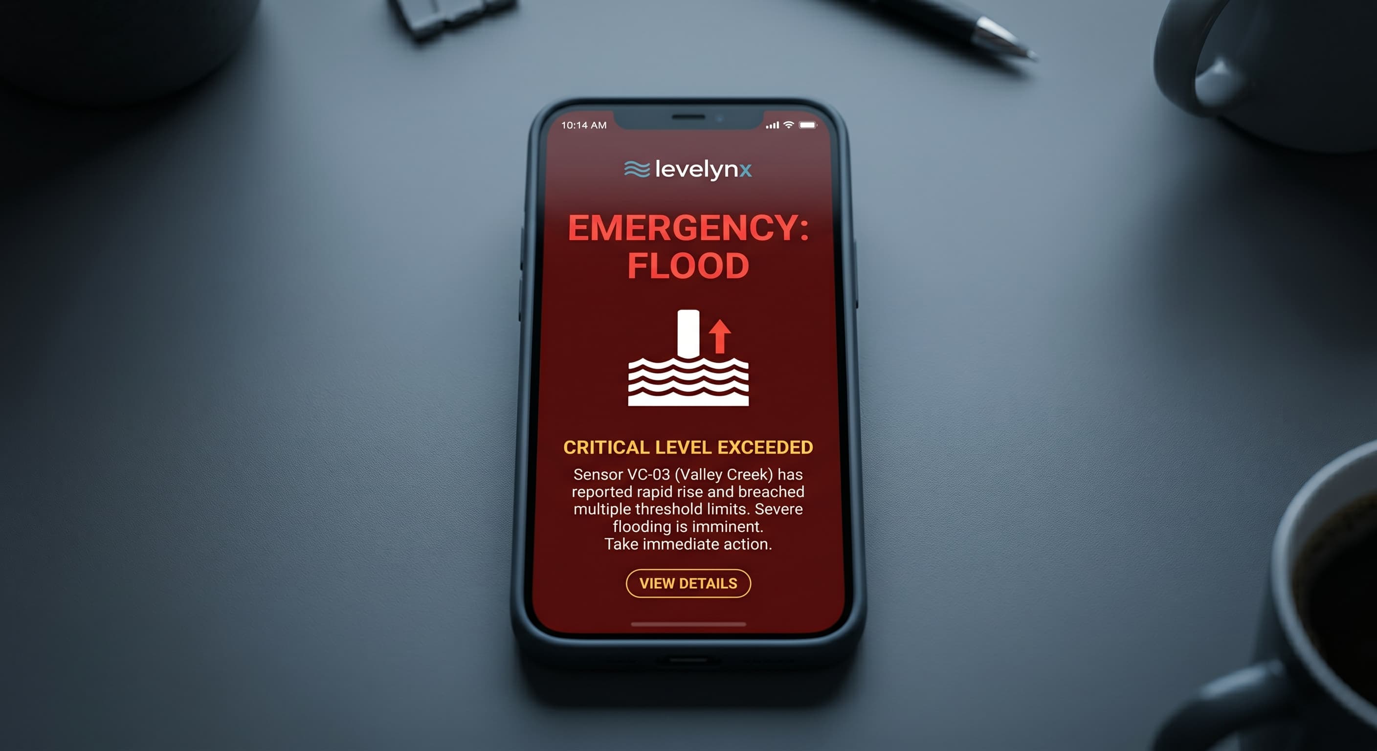
Automated Alerts
Phone calls, SMS, email, and siren integration with WeatherCall. Configurable multi-threshold warnings.
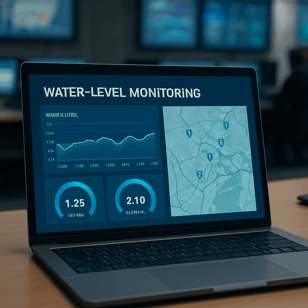
Real-Time Dashboard
Live water levels, historical trends, and predictive analytics accessible from any device.
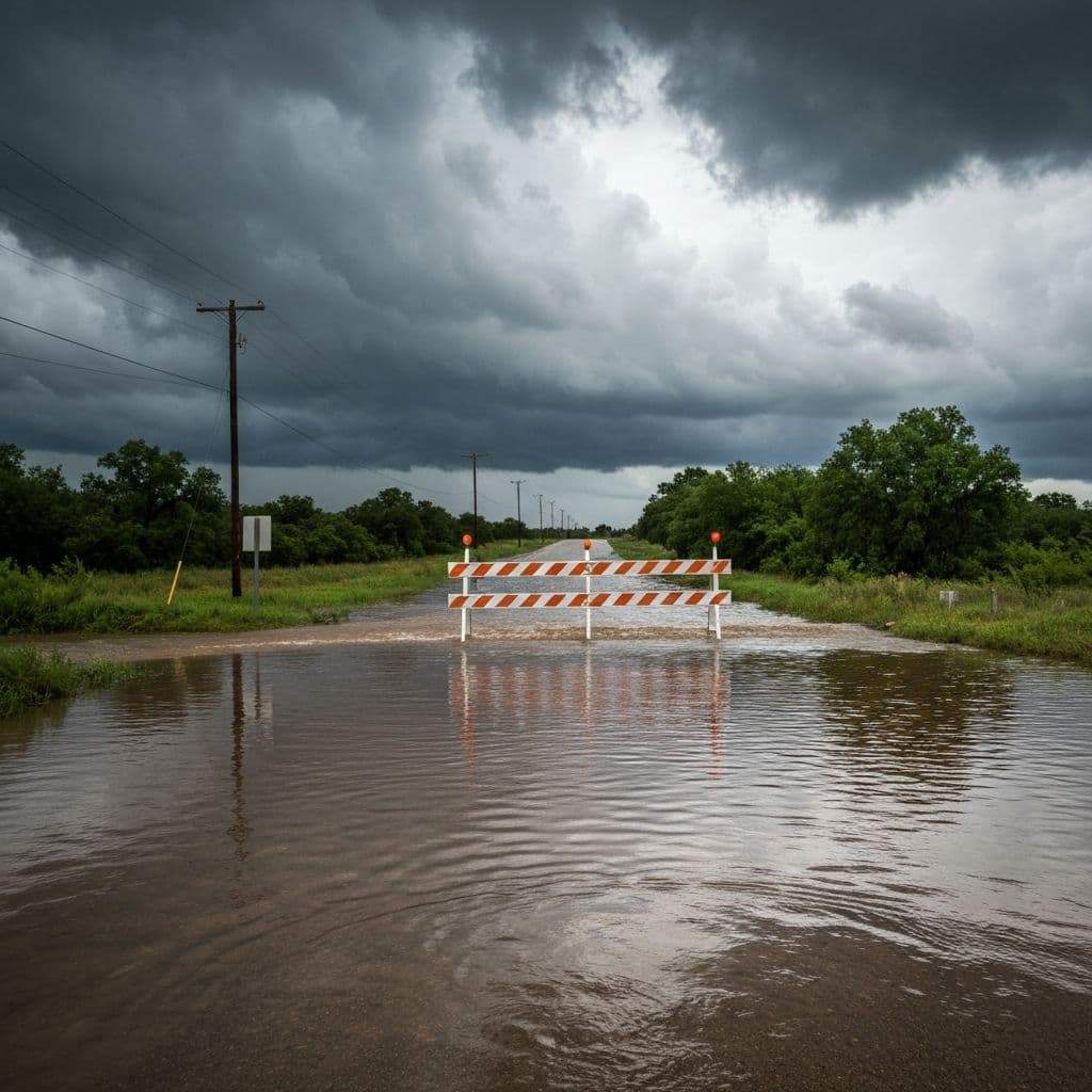
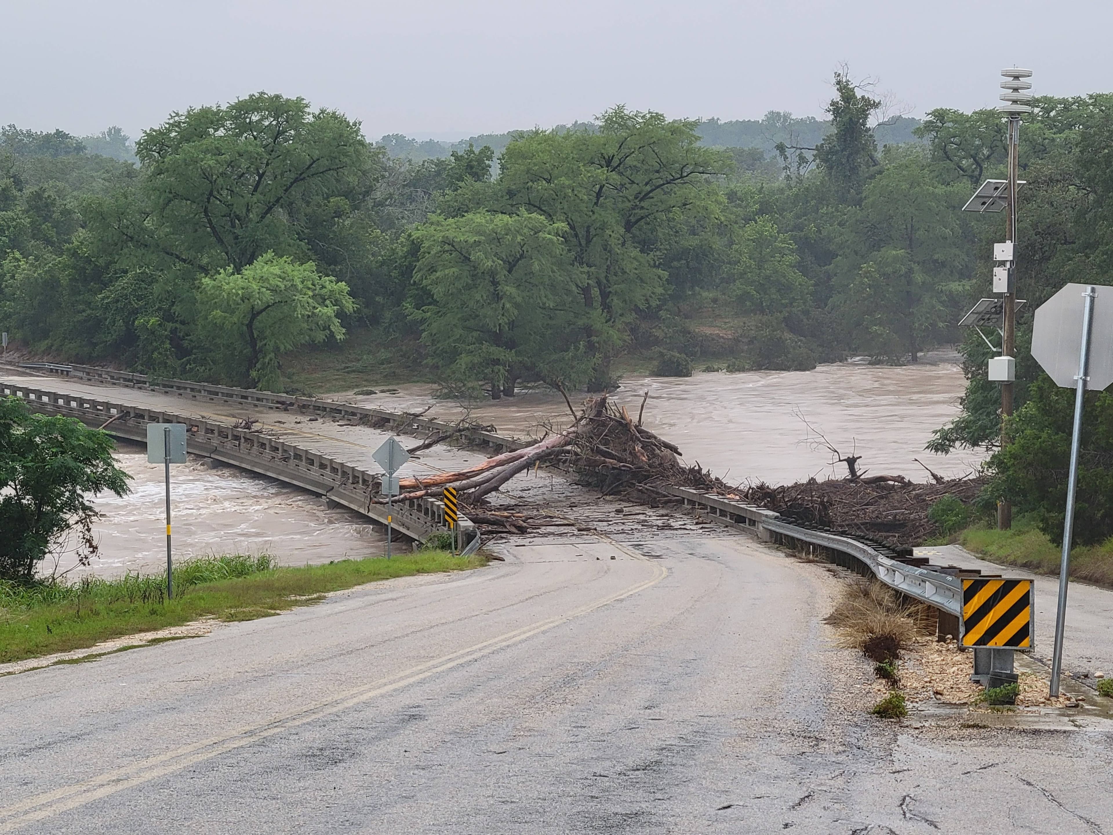
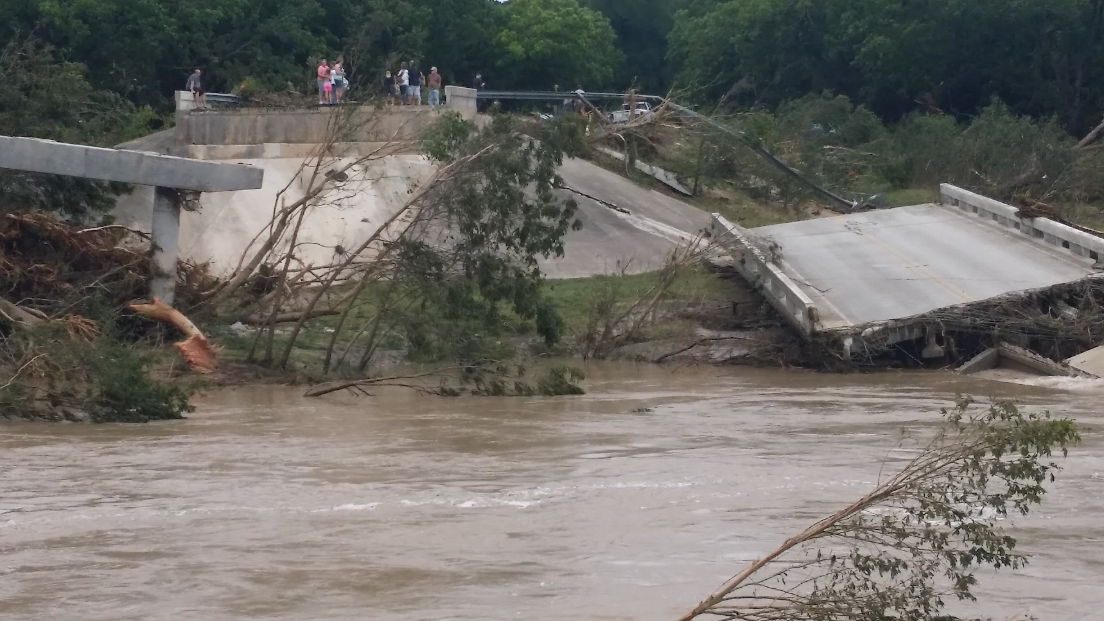
When Water Rises, Minutes Matter
Flash floods are among the deadliest and fastest-moving natural hazards. A dry creek bed can become a deadly torrent in minutes, and low-water crossings turn lethal long before most communities receive any warning. Traditional stream gauges are often sparse, slow to report, or dependent on infrastructure that fails at the worst possible moment.
Levelynx closes that gap. Our flood monitoring and warning system delivers real-time water level data and automated alerts the instant conditions become dangerous — so emergency managers, public works teams, and the public can act before water reaches the road. Engineered for the most flash-flood-prone region in the country, our technology is built for the speed and unpredictability of real flooding, not idealized lab conditions.
How Levelynx Flood Monitoring Works
A complete flood warning system has to do four things reliably, in sequence, without human intervention. Levelynx handles all four on a single platform.
Measure
A hydrostatic pressure sensor measures water level continuously with sub-centimeter accuracy. An optional Bluetooth radar add-on provides redundancy or fully non-contact monitoring where nothing touches the flow.
Evaluate
Each node processes readings on-device against the thresholds you set. Multiple warning levels — such as "rising," "caution," and "road impassable" — trigger independently, so the right response happens at the right water level.
Alert
When a threshold is crossed, Levelynx automatically notifies the right people via phone call, SMS, email, and physical siren activation through WeatherCall integration. Escalation rules ensure warnings reach decision-makers and the public without delay.
Integrate
Data flows in real time to a live dashboard and, through an open API, directly into the SCADA, CAD, GIS, and emergency management systems you already operate. Your data stays yours — no mandatory vendor portal.
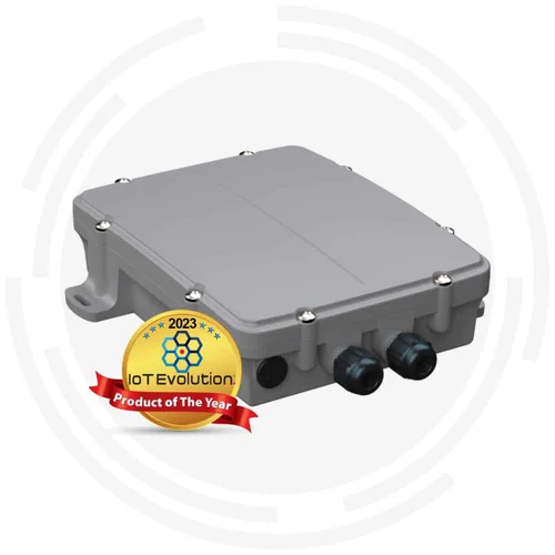
The Technology Behind Every Levelynx Node
Each monitoring node is a self-contained, solar-powered system engineered to operate autonomously in the harshest conditions — no local network, mains power, or maintenance crew required. Deploy a single site or an entire watershed with the same rugged hardware.
- Hydrostatic pressure sensor included on every system
- Optional add-on equipment including Bluetooth radar and tipping rain bucket
- Integrated solar power with backup battery that runs the system up to 6 months without sun
- Multi-carrier cellular with automatic tower selection — no carrier lock-in
- Satellite connectivity for sites beyond cellular coverage
- Onboard data logging and edge processing
- Configurable reporting periods and multi-threshold alerting
- SDI-12 expansion port for additional sensors
- Automatic flash-flood detection with real-time alerts
- Web-based dashboard with historical trends and analytics
- Wide operating range from -30°C to +60°C for extreme heat and cold
Enclosure Ratings
Applications
From single-site monitoring to comprehensive watershed coverage.
Low-Water Crossings
The most common flash-flood fatality site. Levelynx monitors water depth at the crossing and triggers automated warnings, gate closures, and signage the moment the road becomes dangerous — protecting motorists before they reach the water. It integrates with flashing beacons and barrier-arm systems.
Creek & River Monitoring
Track water levels across an entire watershed with strategically placed nodes. Coordinated multi-site data reveals how a flood is developing upstream, giving downstream communities critical lead time to respond.
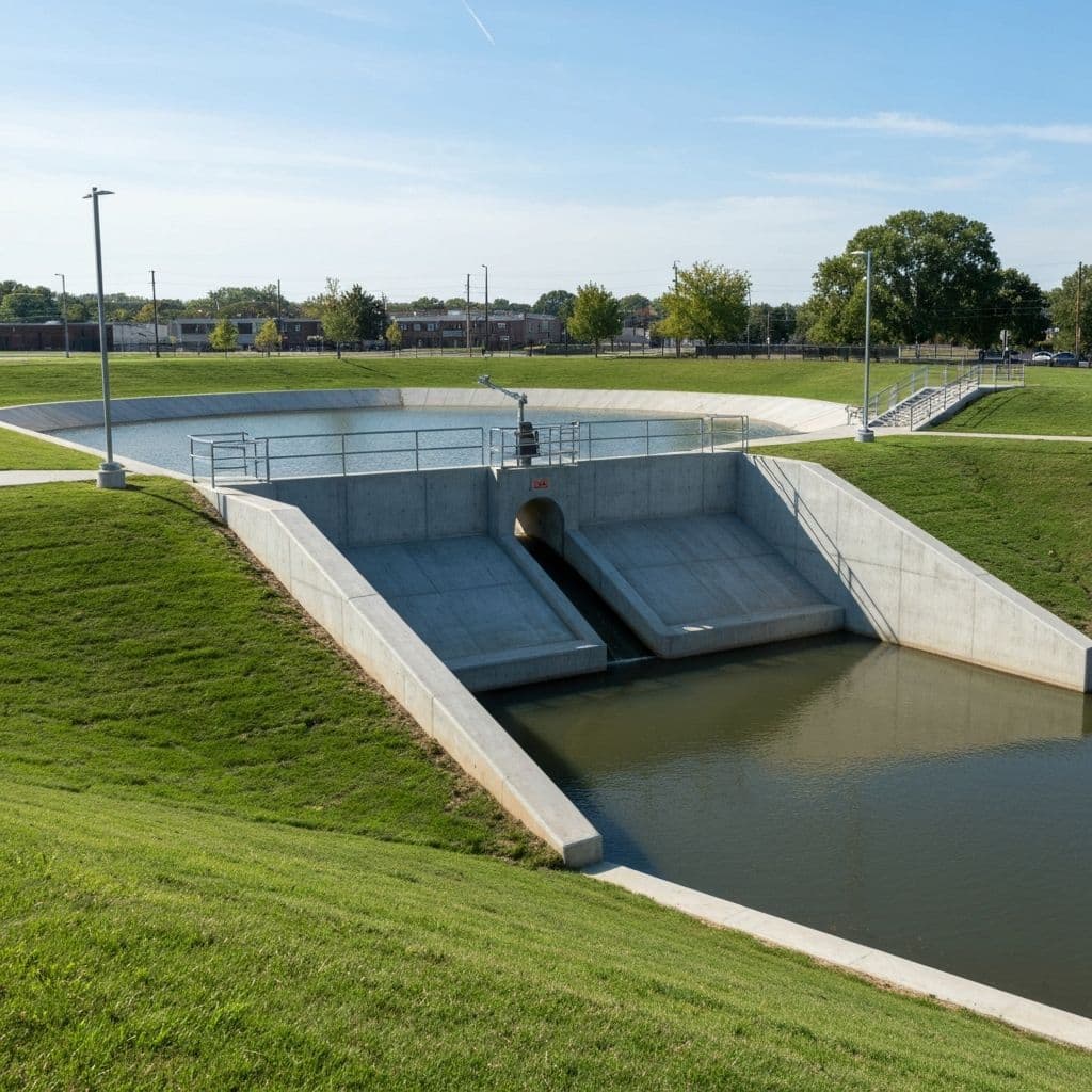
Stormwater Infrastructure
Monitor detention ponds, drainage channels, and culverts to catch overflow conditions before they cause property damage or street flooding. Continuous data also supports capacity planning and regulatory reporting.
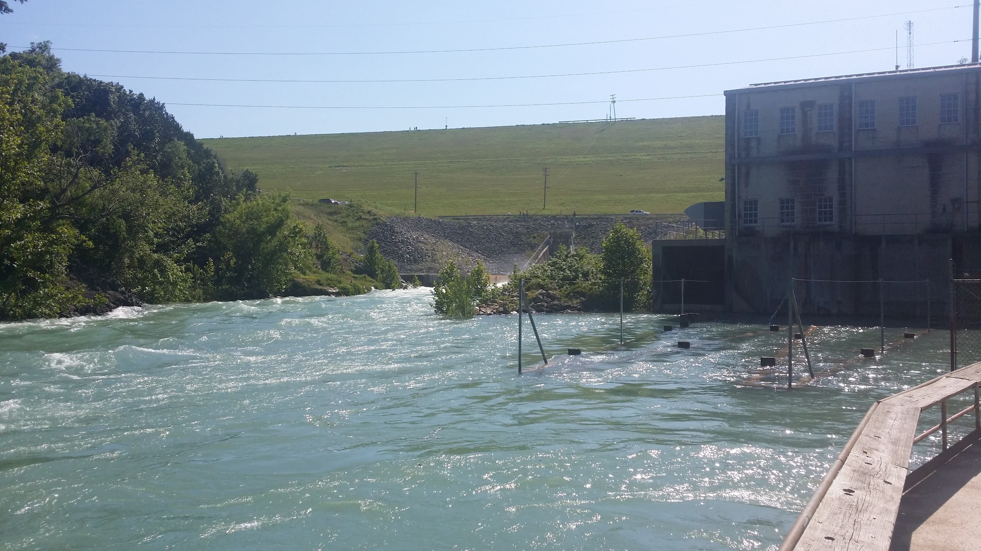
Dam & Reservoir Levels
Continuous level monitoring with early-warning alerts for downstream communities. Reliable multi-carrier connectivity and a battery backup that lasts up to 6 months make Levelynx suitable for remote dam sites where infrastructure is limited.
Built for Flash Floods, Not Just Water Levels
Most flood sensors lock you into one fixed probe and a single carrier. Levelynx adapts to your site, connects anywhere, and keeps your data yours.
See how Levelynx performs at your site.
Request a DemoWho Uses Flood Monitoring
From city emergency managers to campground operators, Levelynx protects the people and places most exposed to flash flooding.
Municipalities & Emergency Management
Deploy city-wide flood monitoring without building local radio networks. Levelynx eliminates the infrastructure burden of traditional systems, with hyper-local data and automated alerts that scale from a single low-water crossing to a county-wide network of 200+ sites.
No Local Network Required
Deploy city-wide without building LoRaWAN gateways or radio infrastructure. Each sensor connects directly to the cloud.
Satellite Backup
Dual connectivity ensures your flood data always gets through, even when local infrastructure fails during a storm.
Budget-Friendly Pricing
Predictable costs and volume pricing that fit municipal budgets, with discounts as your network grows.
Rapid City-Wide Deployment
Sites operational in under an hour. No contractors, no permits, no infrastructure buildout required.
Campgrounds & RV Parks
Campgrounds, RV parks, and outdoor recreation areas are often located near the waterways that make them attractive — and vulnerable to flash flooding. Levelynx protects guests in remote locations with reliable connectivity, automated sirens, and instant staff alerts, even in the middle of the night.
Remote Location Connectivity
Cellular when available, satellite when needed. Monitoring works even in areas with no cell coverage.
On-Site Warning Sirens
Loud outdoor sirens activate automatically to wake sleeping campers and alert guests across the property.
Rapid Water Rise Detection
60GHz radar catches fast-rising creeks in minutes, giving guests critical time to reach higher ground.
Reduce Liability Exposure
Demonstrate proactive guest safety with documented, automated flood warnings for river-adjacent sites.
Transportation Agencies
Monitor flood-prone corridors and low-water crossings across a region, with alerts that feed directly into traveler information and road-closure workflows.
Emergency Management
Feed real-time water level data into EOC systems, IPAWS, and existing alert networks for faster, better-coordinated response.
Flood Monitoring FAQs
Answers to the questions emergency managers, public works teams, and engineers ask most.
What is a flood warning system?
A flood warning system continuously monitors water levels and automatically alerts people when flooding becomes likely or dangerous. A modern system like Levelynx combines a water level sensor, on-device threshold logic, multi-channel alerting (phone, SMS, email, siren), and integration with the systems emergency teams already use — so warnings happen automatically, in real time, without anyone watching a screen.
How does Levelynx measure water level?
Every Levelynx system includes a hydrostatic pressure sensor that measures water level with sub-centimeter accuracy. For redundancy or fully non-contact monitoring, an optional Bluetooth radar unit can be added so there is nothing in the flow to be damaged or fouled by debris during a flood.
How accurate is Levelynx water-level monitoring?
Levelynx measures water level to sub-centimeter accuracy. Both the standard hydrostatic sensor and the optional radar add-on are engineered to stay reliable through rain, fog, darkness, and floating debris — the real conditions where float-based methods often fail.
What happens if cellular service goes down during a flood?
Each Levelynx node automatically selects whatever cellular carrier is available and falls back to satellite connectivity if no cellular signal is present. This removes dependence on any single carrier or on local infrastructure that may fail during a storm.
How are flood alerts delivered?
Alerts are delivered automatically by phone call, SMS, email, and physical siren activation through WeatherCall integration. You configure multiple thresholds and escalation rules so the right people are notified at the right water level.
How long does the system run without power or sun?
Levelynx offers battery-only and solar-with-battery-backup power options. The backup battery keeps the system reporting for up to 6 months without any solar recharge — more than enough to operate through extended storm systems and overcast conditions.
Can Levelynx integrate with our existing systems?
Yes. Levelynx provides an open API and integrates with SCADA, CAD, GIS, and emergency management platforms, as well as IPAWS and existing alert networks. Your data remains fully accessible and exportable.
Where can Levelynx flood sensors be deployed?
Anywhere. Because the system requires no local infrastructure and supports satellite connectivity, nodes can be installed at remote creek crossings, dams, campgrounds, and city stormwater sites alike.
Protect Your Community Before the Next Flood
Get a custom quote for your flood monitoring needs.